Python Programming for Geospatial Data Analysis#
Author: Dr. Suborna Ahmed
Introduction#
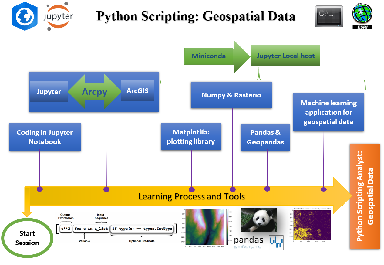
Welcome to the introductory notebook for the ‘Python Programming for Geospatial Data Analysis’. In this book, we will explore various geospatial analysis techniques using Python’s powerful libraries and start from beginner level o programming.
This book aims to provide hands-on experience and insights into leveraging geospatial data for decision-making, visualization, and understanding complex spatial patterns.
Whether you’re a beginner or an experienced programmer, this project will guide you through the process of working with geospatial data, from data acquisition and cleaning to advanced analysis and visualization.
We hope this project will not only enhance your Python programming skills but also empower you to unlock the potential of geospatial data in various domains.
Version history#
Materials were prepared for this book at the Faculty of Forestry, University of British Columbia, August, 2023.
Contributor List#
Contributors |
Affilations |
|---|---|
Suborna Ahmed |
Faculty of Forestry, UBC |
Rik Nuijten |
Faculty of Forestry, UBC |
Yuwen Luo |
Faculty of Science, UBC |
License#

Citation#
How to cite
Ahmed, S. (2023). Python Programming for Geospatial Data Analysis.
Comments: For any comments regarding this document, reach out to Dr. Ahmed.
Check out Repository Link for more information.
Check out the content pages bundled with this book to see more.